Yearly Archives: 2012

30 posts

3.14159 out of 4 Stars

Life of Pi (Ang Lee, 2012)

Life of Pi

Ang Lee’s Life of Pi is one of the most visually beautiful movies I have seen. So was his Brokeback Mountain. But here’s the thing: the two films are beautiful in totally different ways. Lee is such a strong and versatile director that he seemingly reinvents himself for each movie; you could love every one of his movies but still not consider him as your favourite director, because he’s like a different one each time.

Continue reading

Let the Sky Fall

Skyfall (Sam Mendes, 2012)

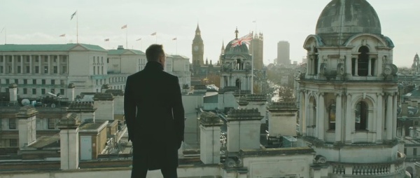
Sam Mendes’ Skyfall is an unusual Bond outing. It follows closely on from its predecessors Casino Royale and Quantum of Solace, continuing their rebooted take on James Bond. Yet at the same time it reaches back to before the reboot, reinstating many elements of the older series. And even as it attempts to knit together the old and new Bond, in key ways it is unlike any of the previous entries.

Continue reading

Call Upon Your Travel Hostess: 1939 Melbourne Travel Map

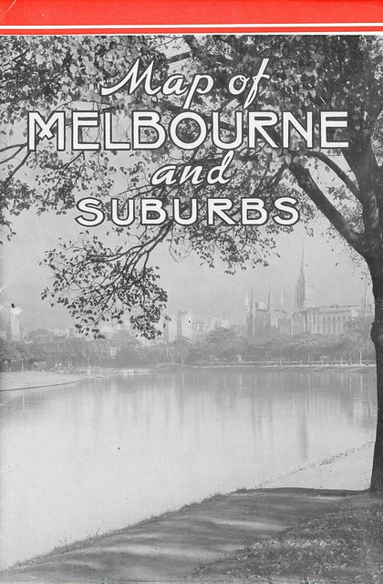
Map of Melbourne and Suburbs - 1939 Victorian Railways Map: Front Cover

This vintage Melbourne travel map was passed on to me from the collection of a relative, and I thought Melbourne map buffs might find it interesting. Produced by the Victorian Railways in November 1939, it’s a small booklet that folds out into a double-sided map. This is the front cover when folded, showing the central city from the banks of the Yarra.

Continue reading

I’m in the Paper

The Age have carried a piece I wrote on the zone reform in today’s paper (a response to this gripe by the Planning Minister).

On the off chance that anyone has found their way here after reading today’s article, there is more chapter and verse about the problems with the zone review in my submission to the review. It’s very hard to nail the specifics in the space constraints of The Age.

Begging for Reason: My Submission to the Victorian Zone Review

This is a very slightly edited version of my submission, lodged last Friday, to the review of Victorian zones. The period for comment has just been extended until 28 September 2012; I urge everyone to make a submission.

The changes currently proposed to the zones are extensive, covering all major categories of zone (residential, business / commercial, industrial, and rural) and involving multiple significant changes to each zone. The proposed reforms mix together changes that were contemplated under the previous government and the subject of considerable work (the “three-speed” residential zones) with others that have appeared with little foreshadowing (most of the others). Very little information or strategic justification has been provided with this package.

I am a keen proponent of planning system reform and in previous submissions to reviews and writing on system reform have prided myself on providing constructive criticism. Unfortunately the paucity of information makes it difficult to be positive or constructive about this review as the information provided gives a striking sense that these reforms have been rushed and poorly thought through. They also appear to involve policy shifts – notably a weakening of activity centre policy – that are inappropriate ahead of the completion of the Metropolitan Strategy.

Continue reading

Fred Mitchell’s Shots of 1950s and 1960s Melbourne

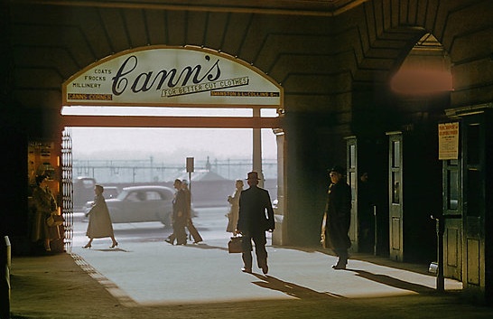
I just discovered that my great uncle, Fred Mitchell, is selling his photos as prints on RedBubble. Fred’s photos have been a source of admiration in my family for years, but it’s nice to see them readily available somewhere that a wider audience can view and order them.

While his collection is very wide and full of good stuff, it’s his photos of mid-twentieth century Melbourne that I keep going back to: in addition to their intrinsic attractiveness, they are fascinating for their portrait of daily life in 1950s Melbourne. (One of his products is a calendar collecting together many of the best).

Continue reading

Did the Minister Tip His Hand on Activity Centres in the Regional Press?

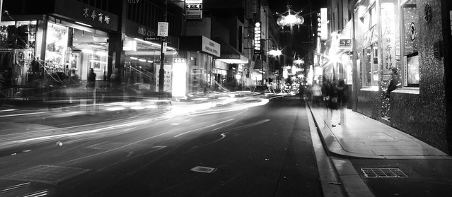
City Nightlife

Looking through the DPCD’s proposed new zones you can draw a number of conclusions about what the strategic beliefs underpinning them are, even where those beliefs aren’t really spelt out in the material released by DPCD (as I noted the other day, the material accompanying the review is a little thin, to put it mildly).

One of the underlying assumptions seems to be that we don’t need to worry about activity centres so much. The Minister has already moved to allow more kinds of big-box retail to move to industrial land outside of centres (which I talked about here and here); these new changes would allow small supermarkets and offices to join that exodus.

There isn’t a very clear statement in the material about where this leaves traditional activity centre policy. However, speaking to a regional paper, the Minister has given more idea of what his thinking on the issue is.

Continue reading

What Zone Reviews Used to Look Like

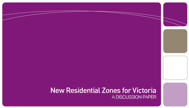
The consultation for the review of the new residential zones, announced back in July, is about half over. A great deal of mockery has been directed at the supporting information provided for us to consider: a ten page discussion paper and four double-sided fact sheets, available on the DPCD webpage. But what kind of strategic work underpinned previous reviews? Well, there are a few obvious comparisons.

Continue reading

The City in Your Hand

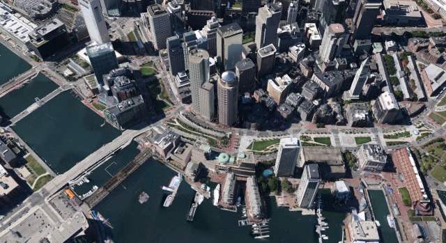
The image above isn’t an aerial photograph. It’s a screenshot of the new 3D view rolled out recently in the latest version of Google Earth for the newer iPads and iPhones. I gather it is available for their Android app too, although it is not yet available on the PC version. This is downtown Boston, one of the first few cities for which this imagery has been released; you can click to enlarge it to have a look at just how realistic the imagery is. If you have access to a device that supports these 3D maps, I suggest you give them a try. They’re amazing.

Google Earth has had 3D buildings for some time now, but previously they were constructed from individually built computer models sourced from various contributors, including an army of amateur hobbyists. As I write, that is still what you’ll see on Google Earth for PC. The buildings seen above, however,  are built using “stereophotogrammetry:” essentially, Google use photographic data to not only capture the faces of the buildings, but also to create a 3D model of the cities’ geometry. The photographs are then mapped onto the model, allowing a near-photorealistic 3D virtual city to be manipulated in real time.

Continue reading